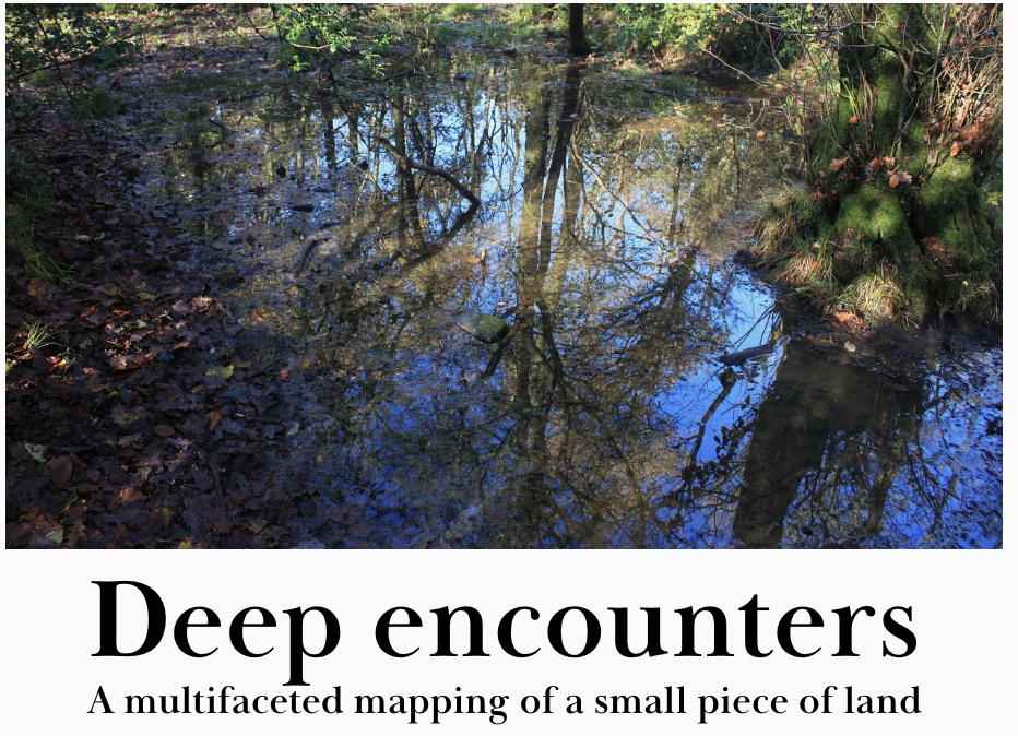
Deep Encounters is a project involving a group of 15 artists working in self'-selected areas/locations. It has been set up on conjunction with Walking the Land https://walkingtheland.org.uk/deep-encounters/
Working collaboratively, but from different parts of the world (England, Scotland, Australia and Newfoundland), there will be periodic conversations about how we are each representing our piece of land, and ideas for shared activities. Identifying their area of study via Google mapping / OS map / w3ws, each artist will walk the perimeter of their area, tracing the outline, recording what it contains using photos, words, drawings, maps, sound etc. Walking our chosen places, getting to know them, activities and engagements will develop gradually from a growing familiarity. And we will be playful in our responses!
Artists participating: Zoe Ashbrook , Ruth Broadbent, Alison Berrett, Sara Dudman, Ffin(vc Price), Tamsin Grainger, Richard Keating, Melinda Hunt, Janette Kerr, Rachel McDonnell, Amanda Steer, Sally Stenton, Amanda Steer, Molly Wagner, Marlene Creates.
This is an exercise in deep mapping; an intensive look at a particular place that might include geography, history, and ecology. Some call the approach ‘vertical travel writing’, while archaeologist Michael Shanks compares it to the eclectic approaches of 18th-early 19th century antiquarian topographers, or the psycho-geographic excursions of the early Situationists.
‘…..Places are not stable; they mean different things to different people – even different things at different times. The deep map recognises the slippery identity of place, and seeks to visualise the multiple identities that go towards constructing the human experience of place'.
https://wp.lancs.ac.uk/lakesdeepmap/the-project/gis-deep-mapping/
We increasingly need to work in “the curious space between wonder and thought” a space where….“there is no single Disciplinary (in an academic sense) voice” (geographers Stephan Harrison, Steve Pile, Nigel Thrift), …. the: “space–betweenrepresentation and reality, language and life, category and experience” (feminist philosopher Geraldine Finn).. (see https://www.iainbiggs.co.uk/2014/10/deep-mapping-a-partial-view/)
My Deep Encounter site:
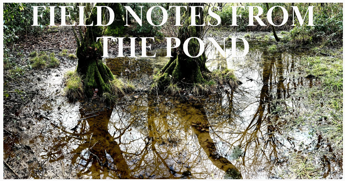
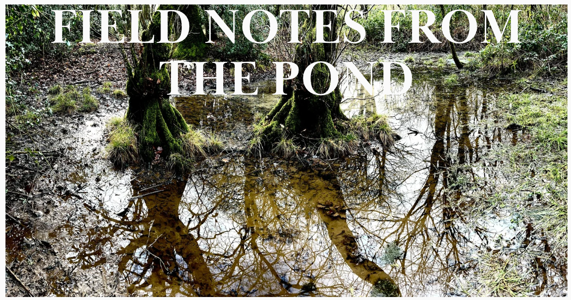
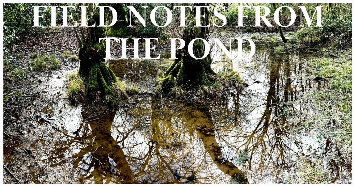
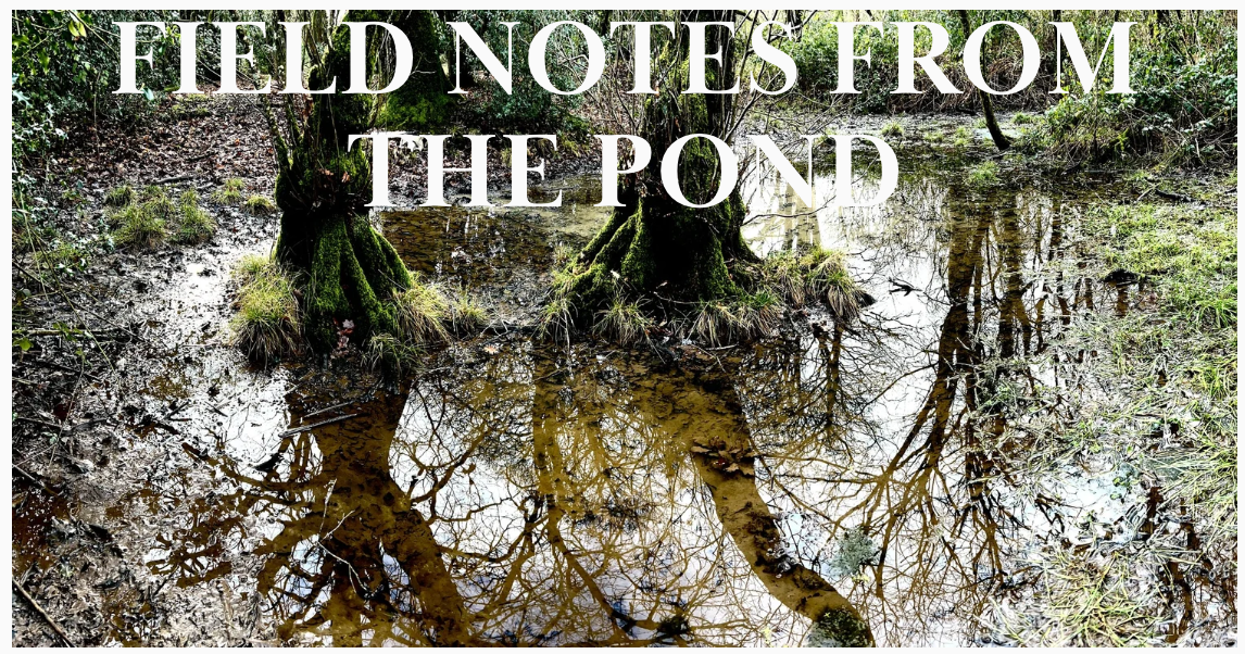
A year long study of a small pond in Coal Barton Wood, Coleford, Somerset
w3w: novelists//elbow//searching - taken from the tree growing in the middle of the pond.
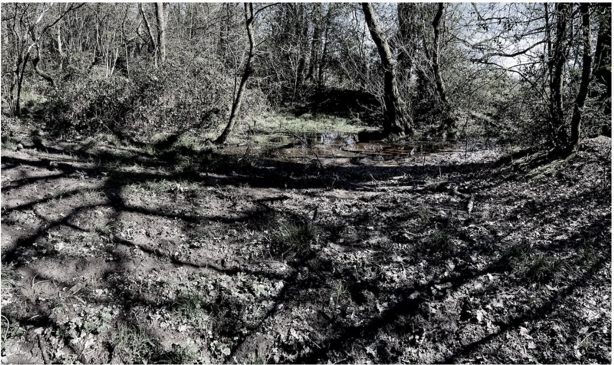
Coal Barton Wood, Coleford. Drop downhill into a valley and there’s a small wood with a tiny stream running through it. Hidden amongst the trees lies a tiny inconspicuous pond, surrounded by brambles and saplings. A trickle of water feeding it can just be seen under the foliage. I’ve chosen this place because it is somewhere little visited, unnoticed. It’s this insignificance that attract me.
The pond has its own boundaries of raised banks enclosing it; walking around it takes less than a few minutes, despite struggling to extricating myself from brambles and stinging nettles, ducking under tree branches, and wading through deep sucking mud. Once used by a mine, historical maps (1840s tithe map and 1880s OS 6 inch 1st edition), show buildings of which nothing now remains. (see ‘Tracing the Layers’ entry below for more on the history of the pond).
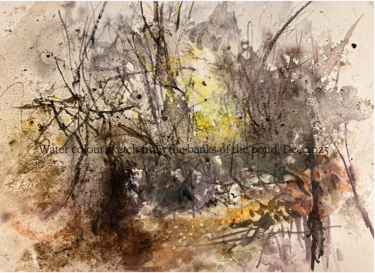
It seems that the pond was once larger; presumably it's become silted up since the trees were planted or perhaps they just arrived there as seeds blown by the wind, and grew. I intend to visit the pond throughout the year, note changes, pond dip, measure the changing water height, identify plants growing around and in the water. Sitting inconspicuously, hidden from a nearby footpath by the surrounding trees, I will watch, draw, paint, photograph, listen, record sounds, and play.
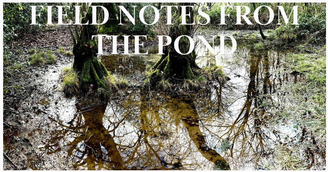
My visits to my pond throughout the year will be documented as ‘Field Notes from the Pond’ as I explore and get to know the place, and start to make work.
Tracing the layers - Coal Barton Wood and the pond
With the help of my partner Steve Poole, who knows a thing or two about historical research, we’ve been doing a bit of our own digging around in online archives to find information about the Coal Barton Wood and my pond.
In the late 18th century, coal seams were sunk in a field called Sheere’s Close, south of Coleford (now called Coal Barton Wood). 100 people were working at the pit in 1842. Coal Barton Pit [ST 680 491] closed in 1857 following a firedamp explosion killing 9 miners. The pond was once a part of the coal mine – an ‘artificially constructed’ pond - dug out with earth banks built around it, with a feed taking water to or maybe from the pit.
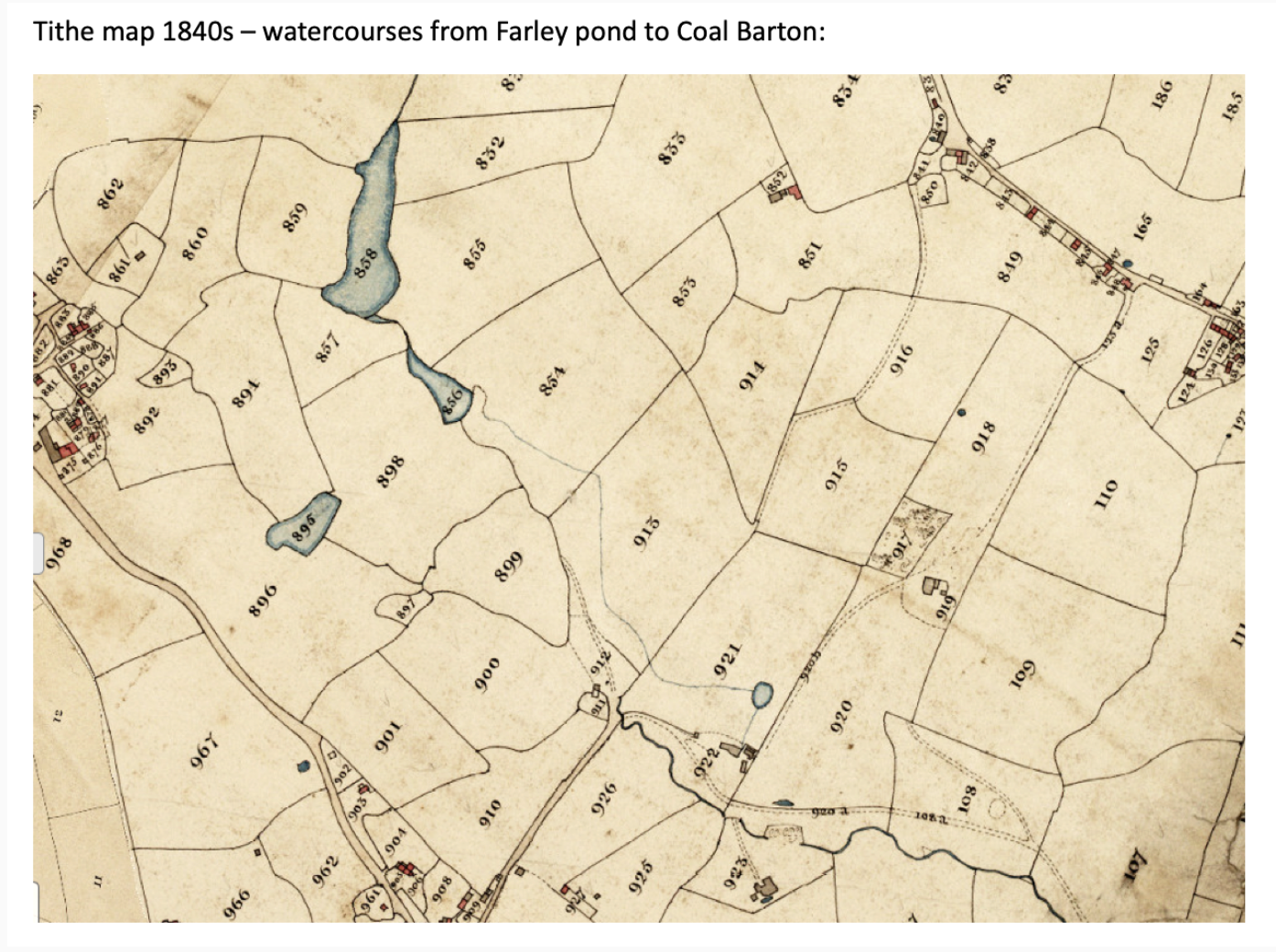
Part of an industry long since disappeared, on the 1840 Tithe map the wood doesn’t exist, but the pond is marked on it, and shows a ‘leat’ leading from it to the colliery buildings one way and a stream feeding it flowing down from Farley Dell Pond. The mine had a water-powered bucket pump (not sure what this was).
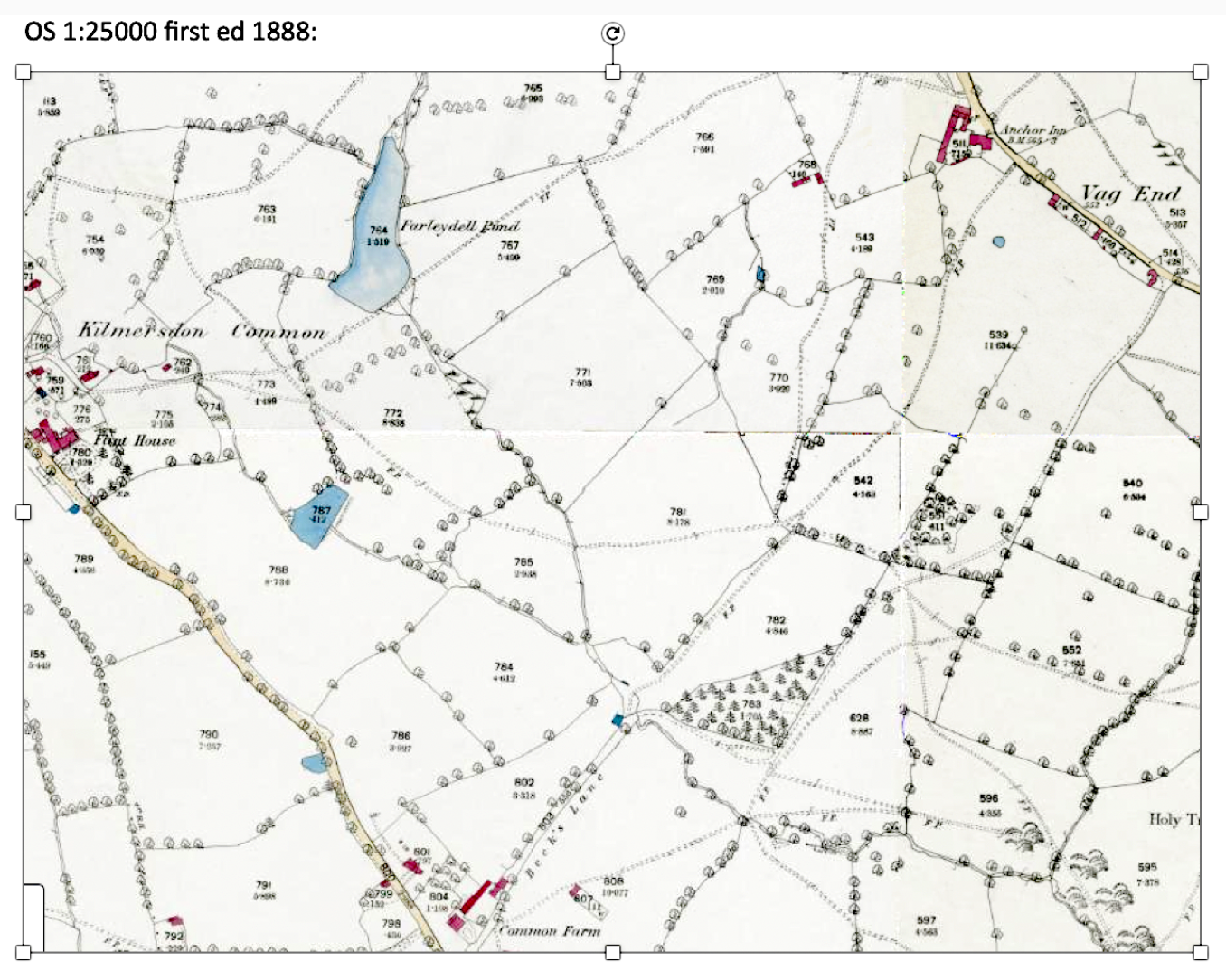
Thirty years later, after the mine had long closed, the 1880’s 6” 1st edition OS map marks a small plantation, but no pond, apart from a small dotted rectangular shape . The banks enclosing the pond remain, as do the faint traces of the ‘leat’ that fed it leading to the mine and to a larger pond/reservoir.
Little survives of this colliery; further into the wood an isolated stone-lined ventilation shaft [ST 683 492] has been infilled and only a shallow depression remains – now lost amongst brambles. Bricks from what would have been the colliery buildings, lie partially buried amongst the trees.
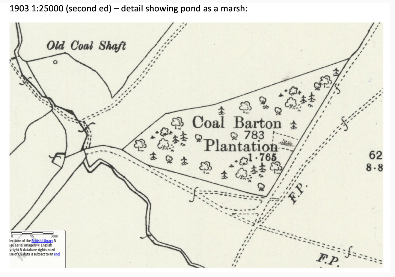
We find a 1903 map indicating an old coal shaft and plantation with this same rectangular area marked as ‘marshy’. This is my pond, a smaller hollow than it once was, embankments still surround it, and right now there is water in it.
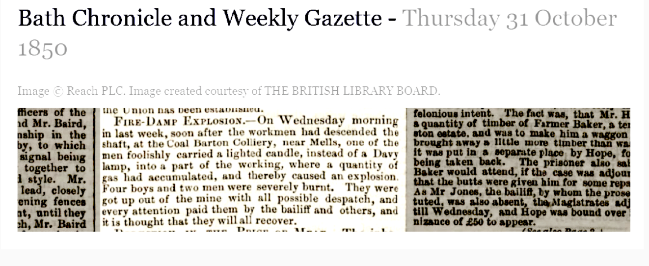
Extract from Bath Chronicle and Weekly Gazette newspaper, 1850
Doreen Massey writes about a space is ‘always in the process of being made.. never finished, never closed’… ‘ a simultaneity of stories-so-far’. The pond has duel identities: one as part of the industrial heritage of the area with its own heritage reference number 15356 (the record states ‘ Pond shown on the 1839 tithe map with ‘leat’ leading to Coal Barton Colliery’. Its other identity is as a quiet place where flora and fauna flourish, mostly undisturbed. It may dry up in the summer, becoming just a dip in the ground, maybe just a ‘marshy area’ as noted on the 1886 Ordinance Survey map. ‘
Knowing the history of this pond makes me conscious of changes in the landscape - discovering that once there was no pond here, and that when it was first constructed in the 1830s this was only a field, whereas now it’s surrounded by trees and dense undergrowth. There are traces here on the ground of layers, ongoing movement, modifications, reconfigurations, perhaps even ghosts and spectral traces. This interweaving/layering of past and present - of time - provides a kind of conversation with the landscape, a deeper engagement with place - encountering and considering the land - the pond and it’s surroundings - as a ‘taskscape’ shaped by people and animals over centuries (Ingold, 1993). I want to find ways to acknowledge and address this.
Iain Biggs writes: ‘Landscapes remain largely mute until decoded, only then do seemingly arbitrary jigsaws of pattern and trace take on particular meanings. To understand a particular patch of land, to actually enter it, requires a willingness to know it as ‘this place’, rather than simply to be acquainted with it as a location in space, an area on a map.
I try to re-imagine this place and my pond as it would have been when the mine was working. It’s hard to think of it without trees, an open field full of activity, miners walking to and fro to the pit … the noises and smells would have been so different. The now wood seems so established, so much part of this landscape, with its undergrowth of free-form brambles and wild flowers, saplings and trees left to wander and reach up to the light. It’s a place people walk past probably not knowing the pond is lying here; it’s a place full of bird song, with the occasional dog bark and voices of people outside the wood drifting in. Having said that, on my last visit as I walk into the wood, before turning left to the pond, I notice a swing rope has been hung up in the trees and the makings of a den, so perhaps there is more happening here than I think.
“If the two-dimensional map asks what is in a place, the deep map asks why, how and whose experiences have created a sense of place. It seeks, in short, to ‘map the unmappable’”. (Harris, 2015, p.33). Bodenhamer DJ, Corrigan J, and Harris TM (eds) (2015) Deep Maps and Spatial Narratives. Bloomington: Indiana University Press.